Français
The deforestation risk assessment includes the following interventions:
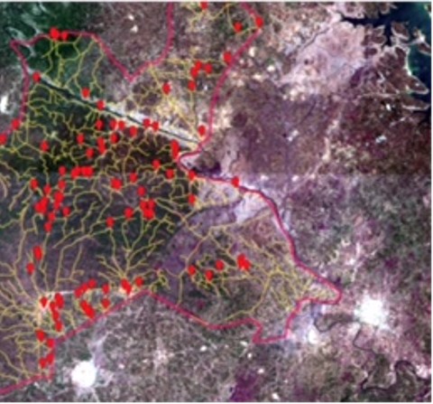
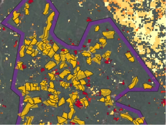
- Satellite Multi-temporal optical and radar data analysis of forest cover
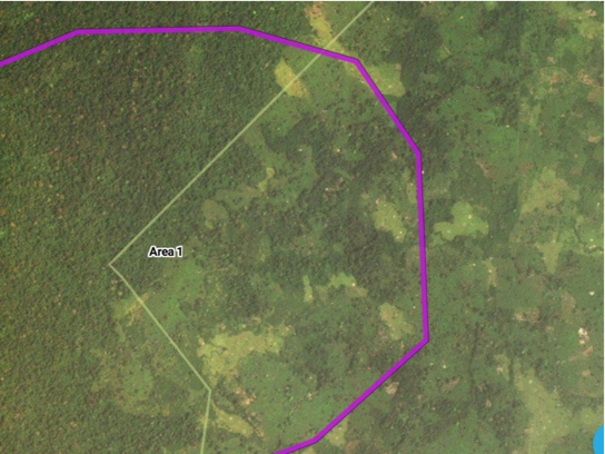
- Real-time land-use inventory
- Bio-mass baseline measurements
- Future landscape projections based on historical trends
- Dual sensor and drone support forest surveillance system pilot
- Recommended action report